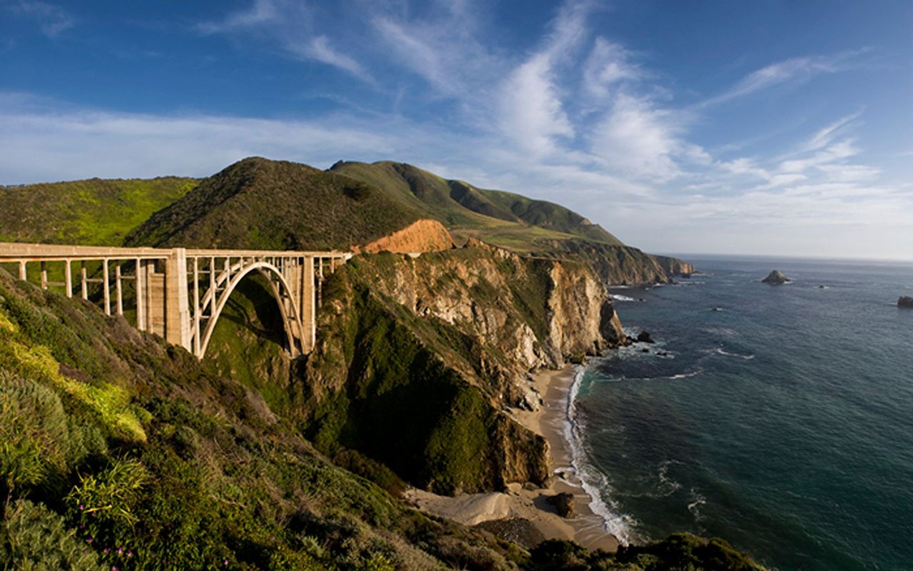
Ask anyone who only visits the coast a few times a year, and the story ends on January 14. That was the day Caltrans reopened the last 6.8-mile stretch at Regent's Slide, reconnecting Highway 1 end to end for the first time since a landslide at Paul's Slide shut the road down in January 2023. Two closures, thirty-six months, one continuous ribbon of coastline again. Clean story, tidy ending.
If you actually live along this stretch, the ending isn't tidy at all. The road came back. The version of daily life that existed before the closures did not. What replaced it is a coast that's technically whole but still governed by machinery, signals, and long-term projects that have nothing to do with slides and everything to do with keeping the bridges underneath the road from failing next.
What January Actually Fixed
The scale of the repair is worth sitting with for a second, because it explains why "reopened" and "back to normal" turned out to be two different things. Caltrans drilled roughly 4,600 shear dowels into the rock at Regent's Slide, used remote-controlled equipment on a slope too unstable for a crew to stand on, and installed a permanent sensor array that now tracks slope movement in real time. The $82 million project finished nearly 90 days ahead of its own schedule, which is genuinely fast for a repair of that size. What it delivered is resilience, not permanence. The monitoring confirms the slope is stable today. It doesn't promise anything about the next atmospheric river.
That distinction, resilience versus permanence, turns out to be the right lens for the whole coast right now, because the same logic applies to a piece of infrastructure that has nothing to do with landslides at all.
The Signal That Outlasts the Closure
On May 29, Caltrans switched on a temporary traffic signal at Rocky Creek Bridge, twelve miles south of Carmel. It runs 24 hours a day, seven days a week, and it's tied to an electrochemical chloride extraction treatment meant to extend the bridge's life. Caltrans now estimates that project won't finish until June 2028, weather permitting.
Read that again. The Regent's Slide closure that dominated three years of headlines took thirty-six months to fix. The Rocky Creek signal, installed after the road was already declared whole, is scheduled to run for two more years past the point where most people assumed the disruption was over. Caltrans has already built the exception list into the plan: the signal stays live through Monterey Car Week in both 2026 and 2027, and through the Big Sur International Marathon in both 2027 and 2028, because the scaffolding under the bridge can't handle the weight of a full stop.
If you're timing a grocery run, a dinner reservation, or a guest's arrival anywhere south of Carmel this month, that signal is now part of the math, not a temporary inconvenience you wait out.
It isn't the only one. As of this week, Caltrans lists several other long-term one-way controls stacked along the same stretch of road:
Location | Control | Hours | Status as of Aug. 4, 2026 |
|---|---|---|---|
Rocky Creek Bridge to Rocky Creek Viaduct | One-way signal | 24/7 | Long term, through est. June 2028 |
Ventana Entrance to Nepenthe (North Entrance) | Alternating one-way | 7 a.m. to 5 p.m. | Long term |
One mile north of Point Sur Lighthouse to the lighthouse | One-way signal | Continuous | Long term |
Big Creek Bridge to Big Creek Vista Point | One-way, core drilling | 8 a.m. to 4 p.m. | Single day: Aug. 4, 2026 |
That's four separate active zones on the same section of coast in the same week, each with its own hours and its own end date, or no end date at all. None of them shows up in a story about the road being "open."
What Didn't Reopen With It
Two things closed during the slide years and haven't come back, and neither one is going to.
The McWay Falls Overlook Trail is shut down for a retaining wall repair that Caltrans expects to continue through 2026, so the falls are visible only from a small pullout on the highway near the park entrance now, not from the overlook path. The beach itself has been off-limits far longer than that. It didn't exist until slide debris from a 1983 closure was pushed into the ocean below, an unintentional bit of engineering that predates the 1992 ban on ocean dumping inside the Monterey Bay National Marine Sanctuary. That access point isn't coming back either way.
The other loss is smaller in scale but louder in the community. Big Sur Bakery, the longtime anchor in the Loma Vista area, burned down in 2024. What sits in that footprint now is a florist, Mother Botanical & Shop, family-run and, by most local accounts, doing some of its best work yet. It's a good business. It is not a bakery, and nobody is pretending otherwise. That's the honest version of "recovery" on this coast: the road came back exactly as it was. The businesses along it didn't all get that option.
Where the Coast Actually Gathers Now
If you're mapping out where locals land on a given night, the pattern hasn't shifted much, closures or not:
- Nepenthe, run by the Fassett family since 1949, with Kirk Gafill, president of the Big Sur Chamber of Commerce, now at the helm. Café Kevah sits on the terrace just below it for breakfast and lunch, weather permitting.
- Fernwood Resort for the deck under the redwoods, weekend live music, and a crowd that's a genuine mix of residents and travelers rather than one or the other.
- Big Sur Taphouse for the early part of the night, with a well-documented habit of everyone drifting over to Fernwood once the Taphouse closes.
- Big Sur River Inn, where the tradition of setting Adirondack chairs directly in the river is exactly as good as it sounds, with live music on Sundays.
Gafill put the strain of the last three years plainly when the reopening was still just a rumor: “When you’re talking three years, that’s just extraordinary,” he said, noting that fixed costs for coast businesses had climbed well past general inflation over the same stretch. The road is back. The cost structure it left behind on its way out isn't gone.
The Traffic Is Real, and It Hasn't Leveled Off
The southern gateway at Ragged Point is a useful gauge for what's actually happening on the road, because it sits outside the old closure zone and simply measures who's driving through. Traffic there is up roughly 900 percent year-over-year since the January reopening, and lodges and campgrounds along the corridor are running 80 to 96 percent occupancy this summer. That's not a modest rebound. That's three years of deferred road trips landing in a single peak season, on a road that's simultaneously running four separate one-way construction zones.
For anyone who lives along this stretch, that combination, surge traffic plus a signal-gated highway, is the actual texture of this summer. It's a different kind of crowded than the coast has dealt with before, because the bottleneck isn't just volume. It's volume moving through a road that stops and starts on Caltrans's schedule, not the driver's.
Mark the Calendar: November 5 to 7
The one date worth writing down now, months in advance, is the Big Sur Food & Wine Festival, running November 5 through 7 this year. It's grown into the largest annual fundraiser on this stretch of coast, with last year's event distributing proceeds to eighteen local organizations working in health, safety, education, and the arts, including every school in Big Sur. Given how much of the last three years was defined by what the coast lost, that event is worth treating as a fixed point rather than an afterthought.
The Coast That Actually Exists Right Now
The honest way to describe Big Sur in August 2026 isn't "reopened." It's "reopened, with conditions attached that outlast the closure that made them necessary." The Rocky Creek signal will still be running in 2028. The McWay Falls overlook won't reopen this year. Big Sur Bakery isn't returning in any form. And the traffic moving through Ragged Point right now is heavier than at almost any point in the corridor's recent history.
None of that makes the coast worse. It makes it a different coast than the one that closed in January 2023, which is worth knowing if you're the one living inside it every day.
If you're weighing what any of this means for a property on this stretch of coast, whether you're holding one, thinking about selling, or watching from a distance and wondering what's actually changed, Truszkowski Freedman & Associates works this coastline closely enough to talk through it in plain terms. Reach out when you're ready.